I figured 2 months was probably enough time to let my legs heal from my first hike so I once again made the voyage to NH for the weekend to set off on my 2nd mountain climb. I wanted to try and do something a little bigger than Cannon, but not one of the huge 10 mile treks, and I found myself settling on Liberty as my target.
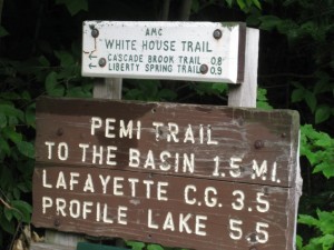
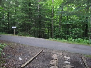
I got to the parking lot located just before the Flume around 10am but didn’t actually get started until around 10:30 because I got lost….in the parking lot. I was looking for the Whitehouse Trail and didn’t notice it was on the big trail head sign since it was labeled in micro letters(micro from the car anyways). So I had the ingenious idea of setting off down a bike path on the opposite side of the parking lot for about 20 minutes before I realized that something didn’t seem right. I reversed course and took a closer look at the trail sign to finally see my mistake.
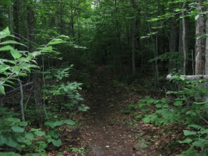
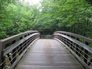
I set off on the correct trail which starts off very calmly, sort of meandering through the forest and not really going up or down. This isn’t really part of the mountain yet though as I soon realized when I hit a bike path(probably the same one) that cuts through the trees here. According to my handy hiking guide I was supposed to turn left and follow this for a little bit…..so thats what I did. Here I was hiking down a bike path in the middle of the forest with bikers whizzing by me…not really your typical scene when hiking a mountain in the Whites but it added something different I suppose. I soon approached the real trail that was going to be taking me up the mountain…the Liberty Springs Trail. There was a couple milling around at the beginning of the trail checking and rechecking their equipment, but I just blew right by them since I was now a seasoned pro on my second hike of the decade.
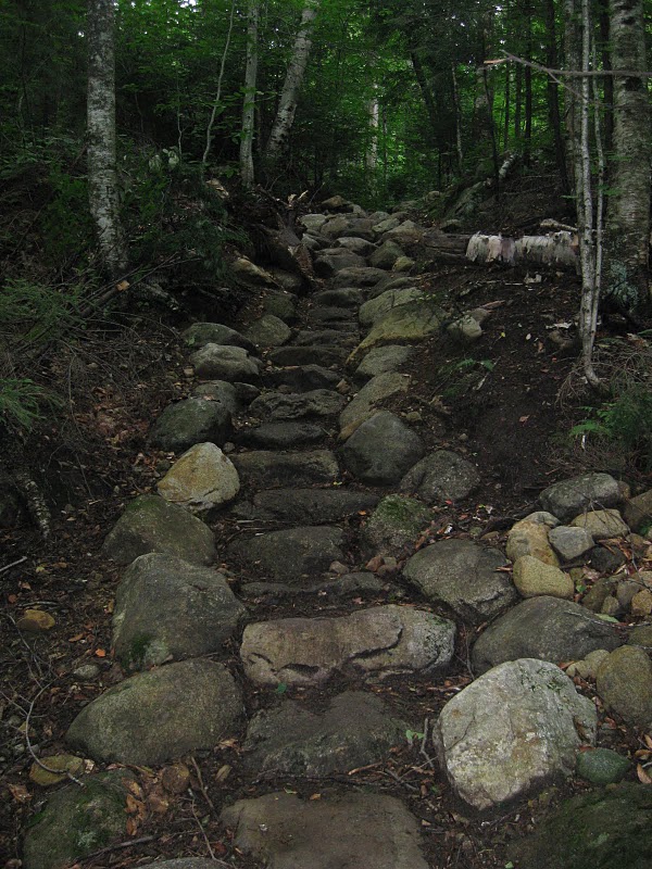
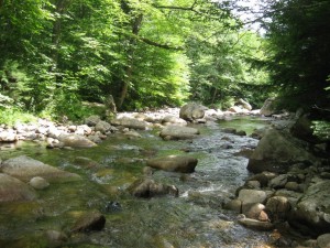
The Liberty Springs Trail left the bike path and climbed at a moderate pace for while, hitting a few forks and passing over a couple small streams. There is one stream thats a little bigger that would probably be tough during high water in the spring but still wasn’t much of a challenge to cross. After this bigger stream the trail really starts picking up steam and climbing at a pretty steep pace.
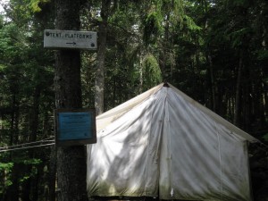
I was soon into the hardest part of the hike and was really taking a pounding to every part of my body, but felt good about myself because I was passing people left and right. However, this was short lived as these same people ended up flying by me about a mile up the trail. I lost track of time as my body began to shut down but when I came to my senses again I was passing the small camp site that is about 30 minutes from the summit. There were already people pitching tents on the small platforms littered around. I took an envious look at the sleeping bags that were out and continued on my way up.
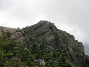
Its only about 30 minutes from the tent platforms to the top but it felt like 2 hours as I slowly made my way up. About 20 minutes past the platforms I came to the ridge trail which thankfully levels off a bit as it heads for the summit. I was barely able to lift my legs after the last push to get to this trail and was starting to trip on some rocks just trying to step over them but it felt good in a “no pain, no gain” sort of way. I must have been quite a site to the people I soon met up with at a small viewing area before the real summit. I have found that most of the mountains in New Hampshire tend to have this summit before a summit mentality in their lay outs which is nice for views, but quite a tease for the other out of shape hikers like me thinking they have reached the top.
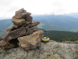
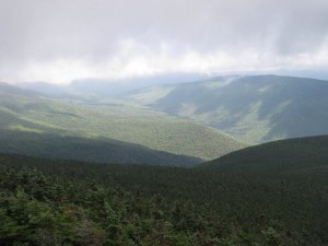
I was way too tired to stop for long here and with the real summit looming right next door, I made the final push across a small ridge and around a bend to reach the top. It wasn’t as cloudy and foggy as my hike up Cannon in May, but was still pretty cloud covered at the top with occasional glimpses of sunlight in the valleys, and some short “peeks” of the “peaks” next door as the clouds swirled by them. It was pretty crowded up top but I made my way around to catch some of the different views before settling down for a quick bite and some much needed water. Spent about 40 minutes up top before I decided to start my trek back down the mountain.
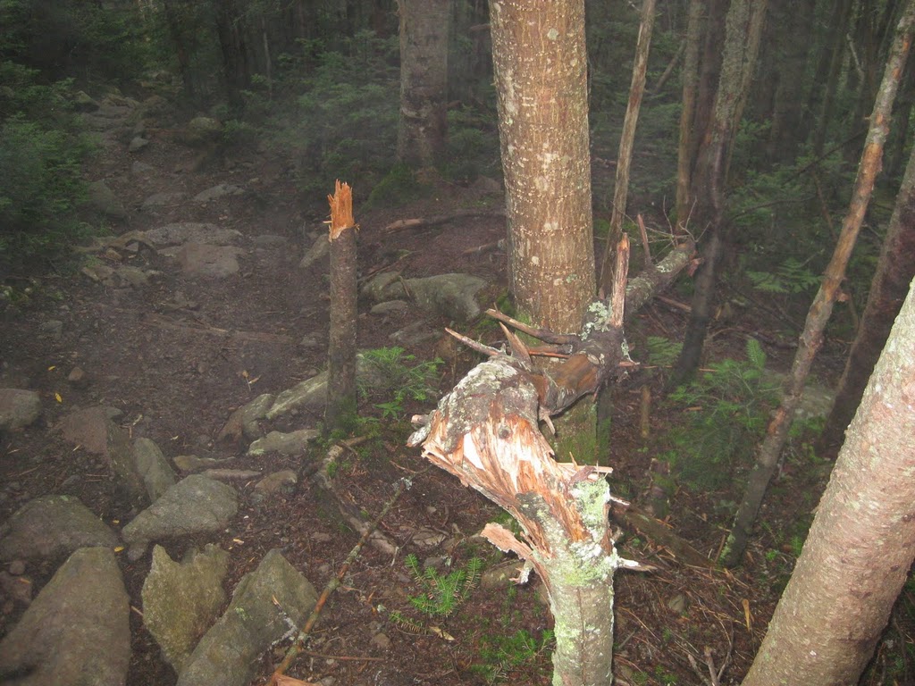
I started back down the trail with renewed energy but still feeling the typical rubber legs you get at this stage. I passed a few groups of late risers coming up who all wanted to know “how much further” it was to the top. I did come across something a little startling as I made my way down that definetly wasn’t there on the way up. I have a pretty good imagination but theres only two things that could have caused this in my book, a fellow hiker taking out his rubber leg fustration on the trees…..or my old friend the bear.
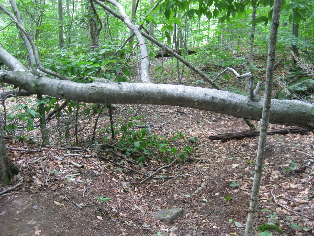
I hurried past this silent scene of destruction but this wasn’t the only bear scare I had on the way down. Towards the bottom I started noticing that the trail had large tree trunks and other obstructions I hadn’t noticed coming up. I thought it was pretty weird I had missed these but also acknowledging the fact that i’m usually half delirious on the way up, I ignored the strange new scenery and forged ahead.
That was a mistake as the trail I was on soon tapered to an end in the middle of nowhere. This was a little alarming as I realized that the trail I had been following was probably made by a fairly large animal…..was I walking right into some sort of trap sprung by my roid raged bear friend from before? I’ll never know because I quickly turned around and started a grueling 40 minute sprint back up the “trail” which was absolute hell after a day of hiking. I felt like my head was going to explode towards the end which was probably not a good thing, and I was starting to accept the fact that I was going to be lost to the wilderness when I finally broke back onto the main trail.
I breathed a sigh of relief and started back down the mountain again. The rest of the way was pretty uneventful. Got back down to the parking lot about 40 minutes later and collapsed to wait for my ride to come get me and take me to a shower. Hiking time was about 6 hours with about 40 minutes spent at the top. 2 down, 46 to go!

